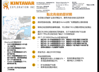
魁北克省的层状铜 || STRATIFORM COPPER IN QUEBEC
Mineralization from surface
Simple & efficient exploration model
矿化结构始于地表
简单高效的勘探模式
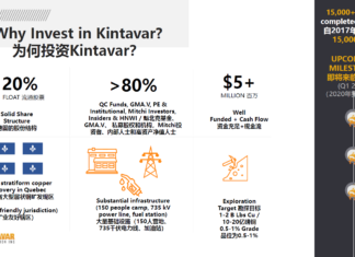
Why Invest in Copper? 为何投资铜业?
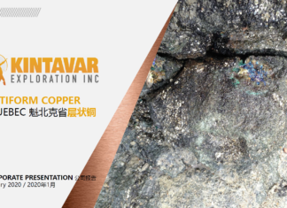
STRATIFORM COPPER IN QUEBEC 魁北克省层状铜
Exploration Target 勘探目标
1-2 B Lbs Cu / 10-20亿磅铜
0.5-1% Grade
品位为0.5-1%
Kintavar at GCFF 温哥华资源投资会展
"As the price of gold renews interest in investing in natural resources, Chinese investors in Canada are now looking for mineral and energy investments in their portfolios. The 2020 GCFF Vancouver Resources Investment Conference will bring together one of Canada's fastest-growing Chinese investor communities and bring investment opportunities in the metals and minerals sectors."


