“… flagship project is the Mitchi property (approx. 30,000 hectares, 100% owned) located west of the Mitchinamecus reservoir, 100 km north of the town of Mont-Laurier. The property covers an area of more than 300 km2 accessible by a network of logging and gravel roads with a hydro-electric power substation located 14 km to the east.”
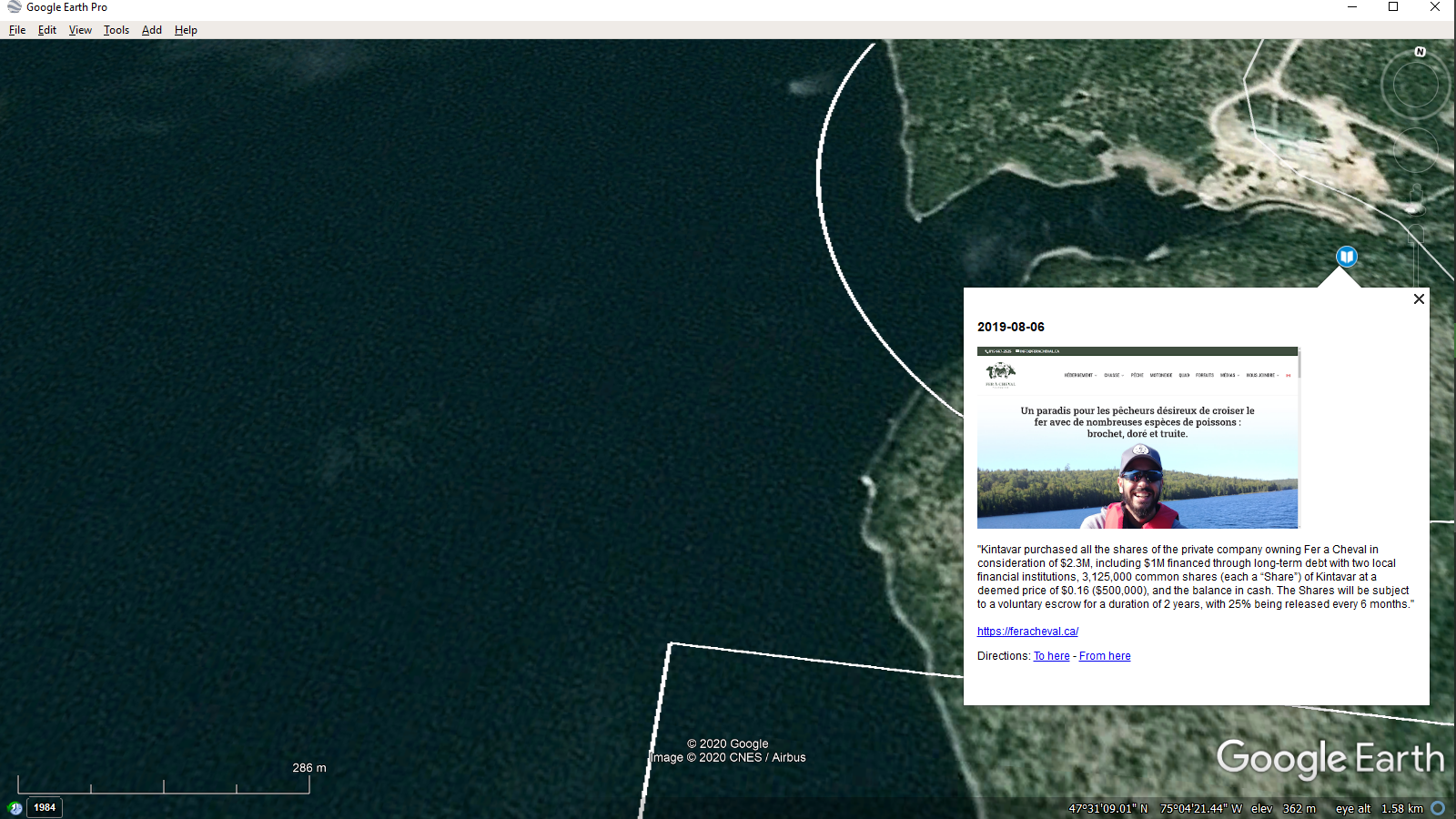
Check out this low-fi vido from Google Earth at the MITCHI project.
“The property is located in the north-western portion of the central metasedimentary belt of the Grenville geological province. Many gold, copper, silver and/or manganese mineralized showings have been identified to date, with many characteristics suggesting of a sediment-hosted stratiform copper type mineralization (SSC) in the Eastern portion of the property and Iron Oxide Copper Gold (IOCG) and skarn type mineralization in the Western portion. Osisko holds a 2% NSR on 27 claims of the southern portion of the Mitchi property, outside of the sedimentary basin. Kintavar also has exposure in the gold greenstones of Quebec by advancing the Anik Gold Project in a partnership with IAMGOLD… Kintavar Exploration is a Canadian mineral exploration Corporation engaged in the acquisition, assessment, exploration and development of gold and base metal mineral properties. Its flagship project is the Mitchi …”
Google Map of the Mitchi Copper-Silver Project – Kintavar
The Mitchi property (approx. 30,000 hectares, 100% owned) located west of the Mitchinamecus reservoir, 100 km north of the town of Mont-Laurier. The property covers an area of more than 300 km2 accessible by a network of logging and gravel roads with a hydro-electric power substation located 14 km to the east.


